Geology Says Europe and North America Never Split
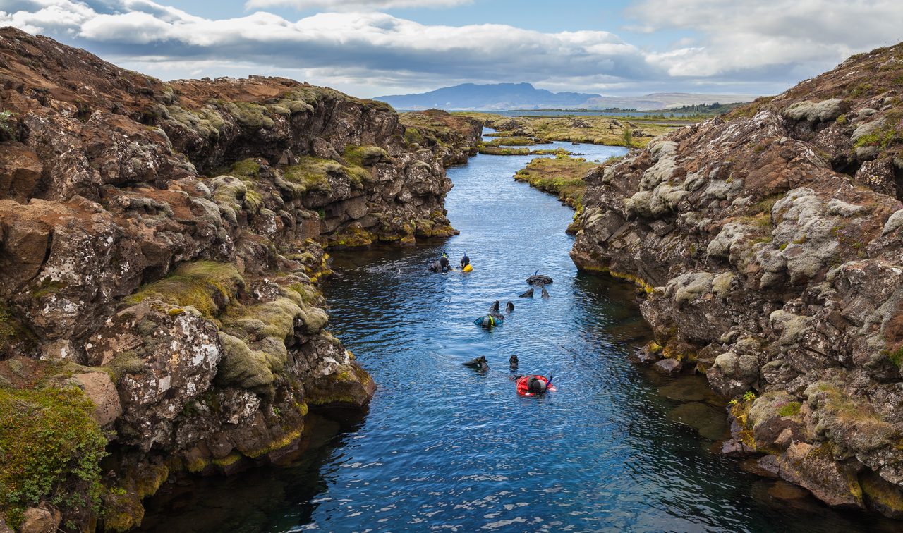
Photo: Diego Delso / CC BY-SA 4.0 · via Wikimedia Commons
Geology Says Europe and North America Never Split
Seven continents shrink to six as Atlantic split stalls
The familiar seven-continent map may be geologically wrong. New research argues that Earth has only six continents because Europe and North America never fully separated. Under this view, the Atlantic is not a clean break. Iceland and the submarine ridge around it still contain crustal fragments from both continents, linking them into one larger structure. The work was led by Jordan Phethean of the University of Derby and published in 2024 in Gondwana Research. Indy100, Geekspin and Earth.com have all reported the claim, with Earth.com carrying Phethean's direct explanation.
Derby team says the plates never finished breaking
The team's official line is blunt. The North American and Eurasian plates did not finally break apart 52 million years ago, as traditionally taught. They are still stretching and still in the process of breaking apart. Phethean told Earth.com that it is controversial to suggest the Greenland Iceland Faroes Ridge contains a large amount of continental crust and that the plates have perhaps not yet officially broken up, but said the evidence supports it. He compared the find to fragments of lost continent submerged beneath the sea and kilometers of thin lava flows, likening it to finding Atlantis. He added that rifting and microcontinent formation are ongoing phenomena.
Iceland ridge holds crust from both continents
Iceland is the key. The conventional story says the volcanic island formed around 60 million years ago at the Mid-Atlantic Ridge, where the North American and Eurasian plates diverge and a hot mantle plume built the island. Phethean and colleagues, by analyzing tectonic movements around Africa and reconstructing the North Atlantic, argue instead that Iceland plus the Greenland Iceland Faroes Ridge, known as the GIFR, contains geological fragments from both plates. They call the feature a Rifted Oceanic Magmatic Plateau, or ROMP, a volcanic plateau that traps leftover continental material as crust stretched and broke. Their reconstruction invokes several stages of stretching, with spreading developing in the Labrador Sea and later reaching Baffin Bay as plate motions shifted.
Textbooks stay, but the definition of a continent shakes
The impact is definitional rather than cartographic. The seven names taught across English-speaking countries, Africa, Antarctica, Asia, Oceania, Europe, North America and South America, mix history and geography rather than strict plate boundaries. The study does not impose a new universally accepted six-continent model, as Geekspin stresses, but it challenges the idea that the Atlantic is a simple continental boundary. The context matters because Phethean previously reported a hidden proto-microcontinent between Canada and Greenland, about the size of England beneath the Davis Strait off Baffin Island. Work published on Open Research Europe, interpreting the mid-lower crust beneath the Greenland Iceland Faroe Ridge as continental and describing an orogenic bridge flanked by oceanic crust, points in the same direction.
Breakup continues, and the boundary needs redrawing
What comes next is testing. If the team is right, Europe and North America are still separating, and the GIFR is the unfinished bridge. That will require more seismic imaging, drilling and sampling to prove the volume and continuity of continental crust beneath thick lavas. No education authority is about to reprint maps, and researchers themselves describe the six-continent framing as a question about how to define and identify continent boundaries. The durable issue is whether continents should be divided at coastlines, shelves or deep crustal continuity, and where exactly the line between Europe and North America should be drawn.
Sources
- Indy100: Earth has six continents not seven, radical new study claims
- Earth.com: claim Earth has six continents North America Europe connected
- Geekspin: Scientists say Earth only has six continents, not seven
- Gondwana Research / ScienceDirect: 2024年论文
- NewsBreak: Earth has six continents not seven, radical study claims